ReadLevels
Read at your level.
One article a day, three levels your way.
NASA Data Helps Rivers After Low Snow in the West
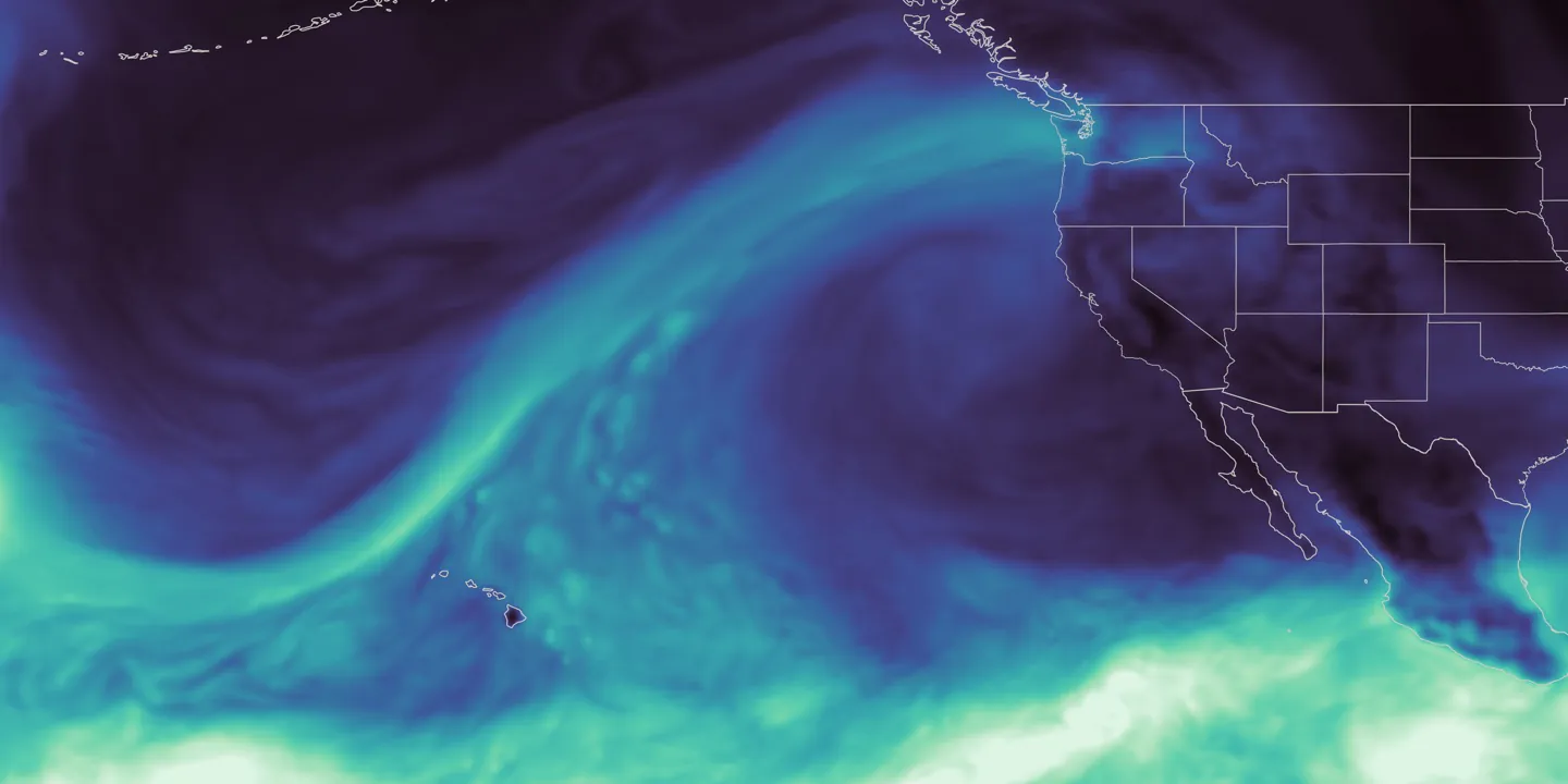
In 2026, western parts of the United States received much less snow than usual. Low snow remained a problem through the summer. NASA collects information from space to feed forecast tools. The tools estimate how much water is in rivers. People use the estimates for water, electricity, and protection in Washington.
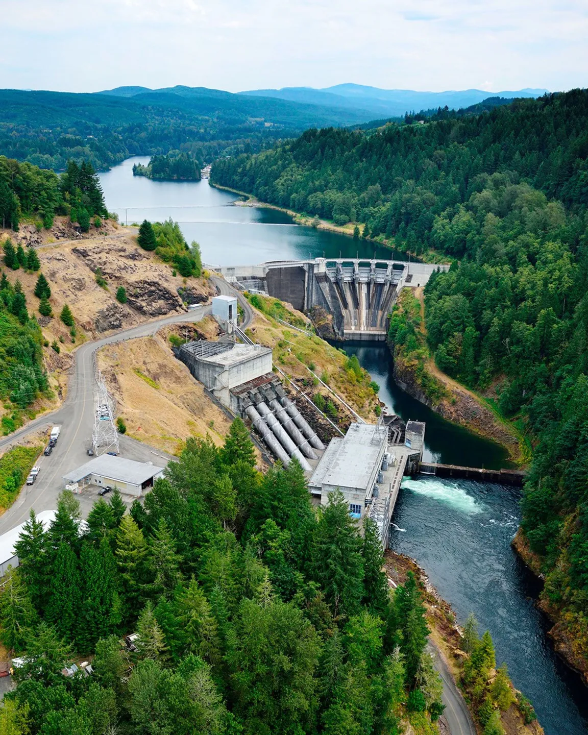
Tacoma Power uses the HydroForecast tool with NASA satellite data on snow. The main power plants are at Mayfield Dam and Mossyrock Dam on the Cowlitz River. They deliver electricity for more than 151,000 homes each year. During the colder season from 2025 to 2026, higher temperatures caused more rain than snow. Snow cover in January, February, and March was the lowest for each month. NASA satellites have shown this since 2001. In December 2025, strong moisture from the Pacific arrived. The rain generated one of the largest single-day increases in water at the plants. Snow amounts stayed between 20 and 50 percent of normal. On April 8, officials in Washington declared a drought emergency across the state, including the Cowlitz.
The HydroForecast tool with NASA data helped Tacoma Power plan for the high water in December. In spring, estimates showed the chance of limited water from melting snow. So Tacoma Power kept storage levels higher than usual for summer. By the start of summer 2026, the reservoirs approached normal levels. Stored water supports electricity generation, flows for fish, and recreation. This is one example of NASA science helping water decisions in the West. NASA also helped prepare the U.S. Drought Monitor for the first time during the week of August 17, 2026.
How does less snow affect people and nature?
Adapted from NASA Earth Observatory.
Select Vocabulary or Comprehension to practice.
Vocabulary
6 key words — tap a word for meaning and examples
Comprehension
6 questions